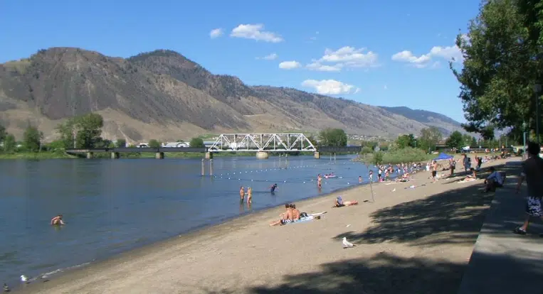
An unusually hot and dry June in the Kamloops area is about to get a whole lot hotter this week.
Environment Canada meteorologist Armel Castellan says to brace for a heat wave with a high of 34 C today – about 8 C higher than the normal 26 C – climbing to 40 C on Saturday and Sunday.
“Today’s hot, tomorrow’s hot, it has been hot, and it has been dry,” he said. “You’re going to stay in the mid-30s all the way through the week and then you’re going to go higher still and yeah, those temperatures on the weekend are right now, set to be records in and of itself.”
The hottest it has ever been in Kamloops was 41.7 C back on July 27, 1939 and again on July 16, 1941.
“So you’ll be within five degrees – four to five degrees – of the records throughout the week and then come Friday, but especially Saturday and Sunday, that’s when we’re going to be coming close to the daily records and then maybe even the all-time record if we get towards that 41 degrees,” Castellan told NL News.
“So our seasonal forecast even into September has very high probabilities of temperatures staying above their seasonal normal, not just for the Pacific, but also right through Southern British Columbia and even to a certain extent into northern B.C..”
This heat wave comes on the back of the driest spring in Kamloops in 120 years, and second driest on record.
As for rain, there has been 14.4 mm so far this month as of June 20, but Environment Canada forecaster Doug Lundquist told NL News on Friday that Kamloops-area residents can expect to only see traces of rain between now and the end of the month.
“The whole forecast, all the way out until next week with the one exception of that cold front this past weekend, is extraordinarily hot for this time of year,” Lundquist said. “June is usually our rainy month with an average of about 37.4 mm of rain. We count on it, and to have this extended heat in June is very concerning.”
“We can forecast a week or 10 days out, and it doesn’t look good because it’s highly likely in the hot category. And pretty hot. I’m seeing indications we could remain quite hot for the next week or 10 days, and maybe longer.”
A cool and soggy June and July last year meant the first heat wave of the season for the Kamloops area did not arrive until July 25. The lack of spring rain this year will mean an increased wildfire risk over the summer.
“The latest monthly forecasts for June indicate a fair likelihood of warmer and dryer than normal conditions persisting across southern B.C.,” Fire Information Officer, Madison Smith said. “If the current weather trends continue, we can expect both the frequency and size of fires to increase as grass and other fine fuels start to ‘cure’ or dry out.”
The fire danger rating for much of the Kamloops area is moderate to high, but it is expected to climb as the temperatures increase.
– With files from Colton Davies


