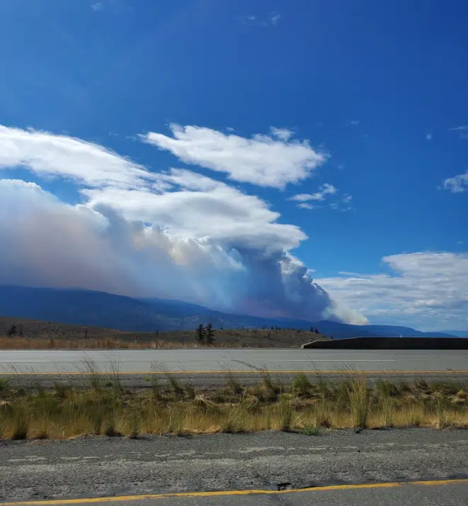
A controlled burn at the Tremont Creek wildfire on August 10, 2021, as seen from the Coquihalla Highway. (Photo via Jaclynn Bryan)
Clearer skies in Kamloops made a controlled burn very visible yesterday at the Tremont Creek fire.
The smoke could be seen from Kamloops to Cache Creek, and on the Coquihalla Highway.
Fire information officer Erin Bull said the burn went according to plan, burning off potential fire fuel around the base of Mount Savona.
“The purpose of that ignition was to bring the fire to a control line that’s been established. And that will bring the fire to an area that’s more workable by ground crews,” she said.
“That was a combination of aerial ignitions from helicopters and ground ignitions from crews on the ground. And so that ignition did go according to plan, we had great conditions.”
As of Tuesday, there were 90 firefighters and seven helicopters working that blaze, as well as 38 pieces of heavy equipment.
The blaze is mapped at 36,724 hectares, and Bull said there will be modest growth to the fire after the controlled burn once the blaze is mapped next.
The fire has been most active in recent days at its northeast flank, where the prescribed burn took place. The wildfire service says it has built fireguards around power lines near parts of Tunkwa Lake Road and Haywood Farmer Road.
An evacuation order remains in place for 58 properties near and north of Tunkwa Lake. Hundreds of other properties remain on evacuation alert, including all of Tobiano, Savona and the District of Logan Lake.


