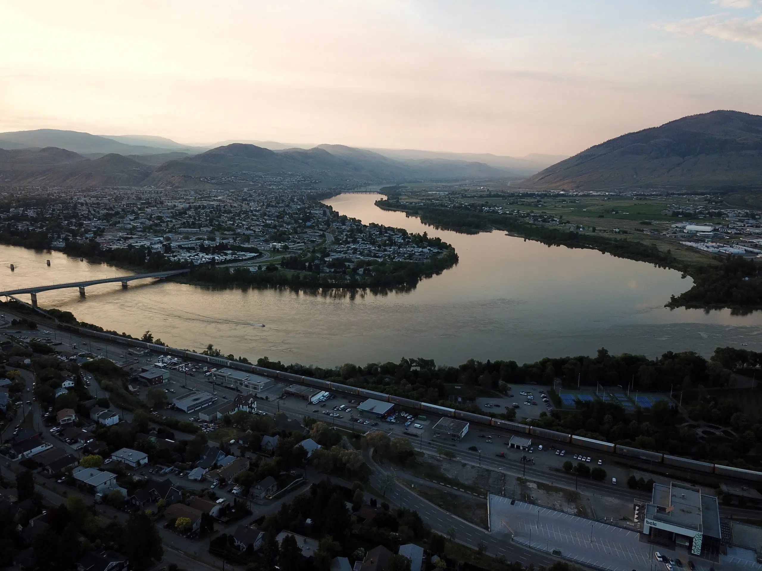
As temperatures begin to finally hover around average, the BC River Forecast Centre says it would be positive if that trend continues through the month of June.
The latest readings show the snow pack along the North Thompson River at 142% of normal and the South Thompson at 113% of normal.
Hydrologist Jonathan Boyd says some of the high elevation sites are still accumulating snow, but it’s not a significant amount.
“As we move foreword for the June 1st [snow survey] we expect the relative percentages to get quite high, but it gets a little bit wonky at this time because you’re comparing to a normal value that’s typically dropping quite low at this time of year. So the big story has just been the delay of the snow melt and then the great risk is if we end up with an extreme heat wave.”
Boyd says those near the river should take precautions. “Obviously if you’re on the river or a major creek or tributary of either the north or south Thompson river it is something to be aware of and prepare for. Concern levels should be high.”
Boyd says the flood risk all comes down to the weather and there is no way of really knowing what will happen in June. He defined a heat wave as anywhere from four to eight degrees above normal for four or more days. “That really has the big switch in terms of what happens with rivers…. typically this time of year the average temperatures is 23 degrees for Kamloops so a heat wave might be around 28 to 30 degrees. What is even more concerning is the extreme events and last year we had the heat dome… so there is risk for significant flooding if say the Kamloops region was getting 35 to 40 degree temperatures for an extended period of time. That currently isn’t in the forecast.”
Can we compare 2022 to past years?
“The previous high flow events 1948 and 1972, especially 1948 was one where temperatures in the spring were quite cold and then a significant heat wave happened essentially for the second half of May. So we’re already into late May and we haven’t had a heat wave so can’t compare exactly to 1948. But, certainly 1972 could be a comparison where if we get four to five days of really hot weather that is going to push the flows quite high.”
Unique to Kamloops is the north and south Thompson rivers meeting in the city. Boyd says the north typically peaks around June 7th and the south around June 24th. “In 1972, which is the most recent high event for Kamloops, the two peaks occurred simultaneously and the reason was that first heat got the snow melting and then a heavy rainfall event and the headwaters of the north Thompson caused a secondary peak for the north Thompson which coincided with the south Thompson’s peak.”


