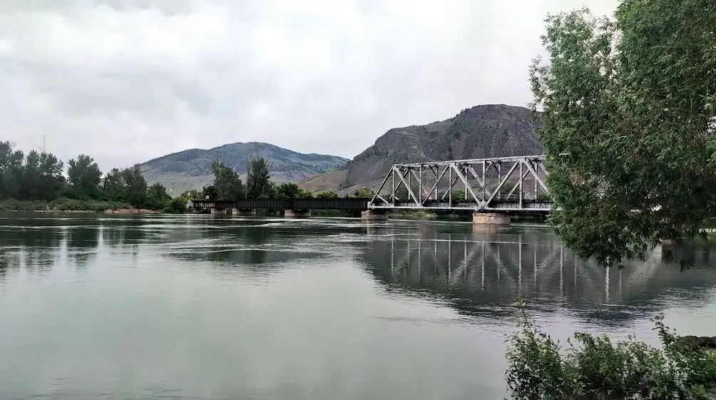
High water on the Thompson River in Kamloops on June 9, 2022 (Photo via Victor Kaisar)
While the City of Kamloops says the North Thompson River could peak as soon as next Wednesday, the Head of the BC River Forecast still has some concerns about rising water levels.
Dave Campbell says the Kamloops-area is not out of the woods just yet because of the ongoing cooler, wetter weather that is in the forecast.
“I do have continuing concerns that we could see additional rises through the Thompson systems,” he said Friday. “We are also seeing on the South Thompson River side of the Thompson through Kamloops that that is still continuing to rise.”
“We’re in that period of high flows and we’re certainly vulnerable to additional rises if we get adverse weather over the next week or two. I don’t think we’re at a point where we can quite say that we’re at the peak for this year but we’re seeing signs of leveling off on some of the snowmelt, but we’re not quite through the period yet.”
Both the North and South Thompson basins remain under a flood watch as of Friday morning. The North Thompson is reporting a snowpack at 232 per cent of normal, with the South Thompson at 186 per cent of normal, according to new data released Thursday.
Campbell says while B.C. has reached the peak window of the spring snowmelt, the flood danger danger will persist for weeks given the record amount of snow still in the mountains coupled with unstable weather in the forecast.
“Given that lack of a hot signature in the short term, in the week next week, it really is the rainfall side of things,” he added.
“We’re seeing quite a lot of precipitation potential and that could include areas in the Thompson, particularly in the North Thompson. We’re not seeing that on our forecast right now as being a key risk into the weekend, but as we come into next week, we’ll be continuing to monitor for that.”
Kamloops City staff continue to urge caution noting an unexpected blast of rain could change the situation, with the South Thompson River expected to peak at some point late in June or early in July.
“We’re going to have both North and South Thompson rivers running extremely high for as much as three weeks here, and any little bit of rain contribution to that – a significant rainfall event, thunderstorm, something like that – is going to be concerning,” Greg Wightman, the Utility Services Manager in Kamloops said on Thursday.
“About two days out is as much confidence as we have in doing that. It is almost an hourly monitoring of radar and all the other information that’s available to us to see what’s happening not just in Kamloops, but up and down the North and South Thompson valleys.”
Moving forward, Environment Canada says most of the province is looking at a continued pattern of cooler temperatures with some “unsettled weather” expected in the Southern Interior through this weekend.
“Continued pulses of thunderstorm activity through Saturday and Sunday,” Armel Castellan, a Warning Preparedness Meteorologist with Environment Canada said.
Beyond that, he says a drier trend is expected later this month into July.
“We can see that the probability is a little bit above average for the Interior of BC, kind of Kamloops north, and then we can see the south continuing that near average temperature outlook for the month of July,” Meteorologist Armel Castellan said.
“We don’t see a signature for a big or strong heat event in next couple of weeks but the chances of seeing heat in July are obviously increased and we could at that point get into longer lasting heat events, particularly in second half of July.”


