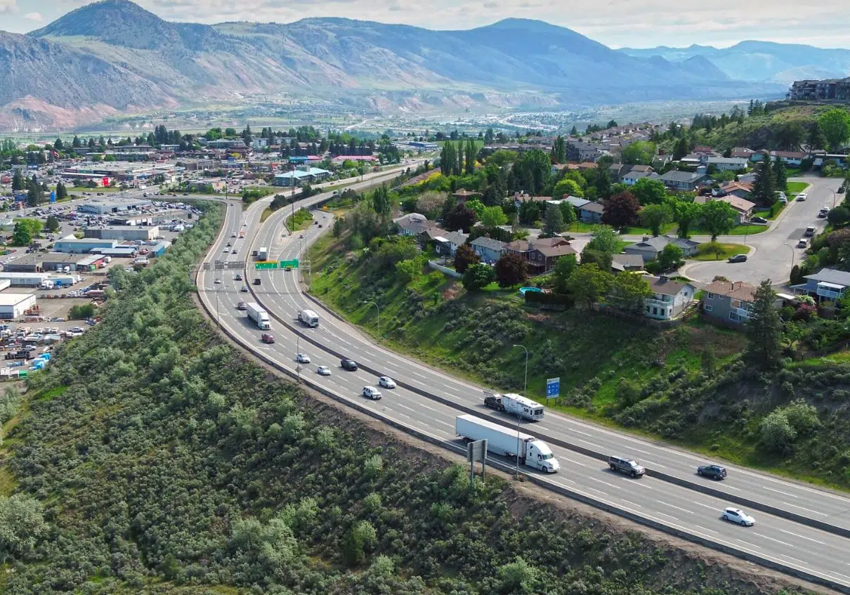
The Columbia Street Exit on Highway 1 in Kamloops. (Photo via BC Government)
Kamloopsians can have their say into the area’s transportation needs as the public engagement process for the Kamloops Area Transportation Strategy gets underway.
The B.C. Ministry of Transportation and Infrastructure has an online survey out from today, Aug. 26, until Sept. 16.
“The Kamloops Area Transportation Strategy will include three rounds of engagement with local and First Nations governments, interested parties and the public,” the Ministry said in a statement.
“The first round of engagement will help the ministry understand what is important to people travelling through the Kamloops area and help inform future engagement.”
The strategy area includes the City of Kamloops and Tk’emlúps te Secwépemc including Highway 1 from Afton Interchange underpass in the west to Lafarge Road in the east, the Yellowhead Interchange of Highway 1 and Highway 5, and Highway 5 from the Yellowhead Interchange to the Old Highway 5 intersection at Heffley Creek.
“The Kamloops area is a vital connection point between the Trans-Canada Highway and Yellowhead Highway 5,” the statement added, noting the goal is to identify potential improvements over the next five to 25 years.
“In addition to its importance for local travel, the area is a crucial part of the national highway system, assisting in moving goods throughout the country and long-range travel.”
The Ministry says the majority of traffic travelling on the highways are local residents going to local destinations within Kamloops with higher traffic volumes where major roads connect with the highway and much lower volumes occur at the edges of the city.
It also noted that the population of Kamloops is expected to increase from 97,000 people in 2018 to 134,000 people by 2043.
“Traffic over that time also forecasted to grow at a rate that would deteriorate key segments and intersections in the study area, causing higher delays for both regional and local traffic by 2043,” the Ministry added.
You’ll find more information about the Kamloops Transportation Strategy here.

Photo via BC Government


