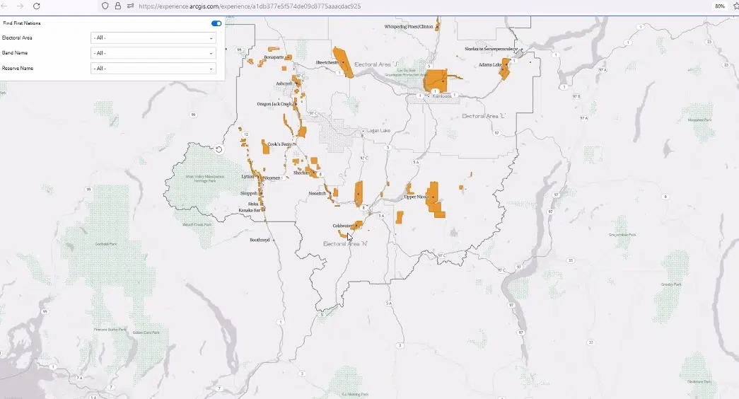
Sample of the TNRD First Nations Reserve Lands interactive map.
The Thompson Nicola Regional District is working on an interactive map to highlight all 25 First Nations within its boundaries.
TNRD Business Application Supervisor Nga To says the goal is to roll the map out to the public once it is fully complete.
She says it will provide a detailed listing of all First Nations in the regional district while also identifying all their reserve lands.
“It is sorted by electoral area or you can see it as an overview of the Regional District by electoral area or do is click on or select any electoral area and it will zoom to the location and just highlight the first nations that are in that area.”
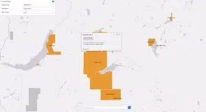
To says to get additional information, people will be able to interact with the map or select highlighted parcels of land.
“We have links to the First Nations profile on the Government of Canada website, in which there is additional information on governance and First Nations officials.”
Additionally, To says they are hoping to add the 2021 population statistics, as well as create a one-page First Nations profile.
She says the interactive map will roll out to the public after it consults with First Nations groups in the regional district.

Sample of the TNRD First Nations Reserve Lands interactive map.
TNRD CAO Scott Hildebrand says once complete, the website will give people a detailed listing of First Nations lands.
“We have provided a clear understanding of which of the four broader nations these individual campfires or bands are a part of, we have indicated the electoral area in which these communities reside and have also created a grid location on the map for easy search and it makes it more convenient.”
Once complete, Hildebrand says it could be a useful tool for TNRD departments, its partners, and the public.


