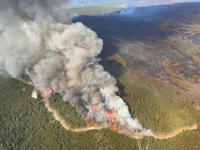
Smoke from the Ross Moore Lake fire during planned ignition work as seen on August 14. (Photo via BC Wildfire Service)
The BC Wildfire Service says hot and dry weather is contributing to “extreme fire behaviour” in the southern Interior as a ridge of high pressure settled over the province this week, sending temperatures soaring and further drying fuel in the forests.
Neal McLoughlin, with the predictive services unit of the wildfire service, says the ridge of high pressure bringing the heat is expected to break down in a few days in the Interior.
But he says once the unseasonable heat is over, the breakdown of the high−pressure ridge could bring strong winds, a cold front and dry lightning.
“We are going to start to see that cold front moving through in the far northwest corner of the province late Wednesday, then it will sweep across the province very quickly exiting the far southeast corner late Friday, but it will move across the province on Thursday and it will do so quite quickly,” he said in a video shared by the BC Wildfire Service.
McLoughlin says the lightning could start more fires that would spread quickly with shifting winds and has the service “very concerned.”
“We would like to alert the public that there could be rapidly evolving fire behaviour and fire behaviour that could spread quickly,” he added. “So paying attention to any updates and alerts will be critical in the upcoming days.”
McLoughlin says wildfire crews are continuing to do controlled burn work and urged people to report any wildfire activity as early as possible to give firefighters a leg up to deal with new ignitions.
There are about 370 wildfires burning in the province and 149 of those remain out of control, with 13 considered of note, meaning they are highly visible or threaten communities.


