


A new interactive online map has been launched by the city in the hopes of preventing damage to underground utility lines.
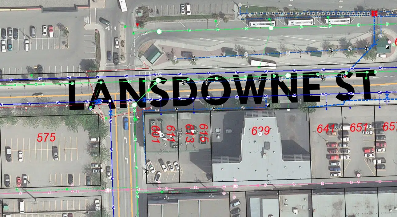
Utility Services Manager Greg Wightman says people will now be able to see the location of city-owned underground utilities like water, sanitary, drainage and irrigation lines.
However, he says residents are still urged to use the BC One Call program.
“When you call into BC One Call, you get information from all member utilities like FortisBC and BC Hydro,” he said. “The city of Kamloops is not a member of BC One Call. The reason we’re not is because we can produce information like this for the public. They can go at any point and look up this information. It’s not just specific to when you do make that call before you dig.”
In addition to residents and tradespeople using the map before digging, Wightman believes the map will have other uses.
“Certainly for underground work, you’re going to know where all the utilities are,” he noted. “But also just for things such as locating the services at your house, this map allows you to do that, and then you can keep your water shutoff at property line clear, clear, and accessible so that if you do need it, you can certainly use that shutoff to stop water.”
Wightman says the city has been working on this map for some time, noting it was not in response to a series of gas line breaks in June. He notes damage to underground utilities can be ‘inconvenient, costly, and even dangerous’ both for the city who has to repair it, and for the workers repairing the utility lines.


